
Conte aos seus amigos sobre este item:
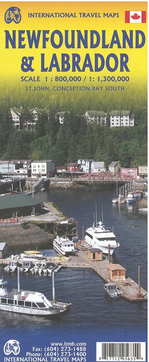
International Travel Maps: Newfoundland & Labrador 4th edição
ITM Publications
O que dizem nossos clientes:

International Travel Maps: Newfoundland & Labrador 4th edição
ITM Publications
Newfoundland, Britains first and oldest American colony, joined Canada somewhat reluctantly in 1949. It was re-named Newfoundland and Labrador some years later to reflect the political reality of a huge tract of land that was given to it. The province has blossomed into a treasured part of Canada and a touristic haven par excellence. The island portion is well known for its one east-west road, and St. Johns as the oldest city in the Americas north of the Caribbean. Access to the province is a tad difficult. One either takes a ferry from Nova Scotia, weather permitting, or flies in. There is now a road north from the eastern edges of road connections in Quebec north to Labrador City and east to Goose Bay, with a southerly stretch of 500kms to a seasonal ferry across the Strait of Belle Isle to a spot on the northern island coast, not far from LAnse aux Meadows, the historic site of the first European Norse settlement in the New World, circa 1,000AD. The map is double-sided, to reflect the importance of both portions of the province, and the island side includes insets of St. Johns and Conception Bay. It also includes the nearby French possession of St. Pierre et Miquelon, the only colony left for France after the British conquest of Quebec in 1759/60.
Målestok: 1:800.000 Serie: International Travel Maps
| Mídia | Livros Hardcover Book (Livro com lombada e capa dura) |
| Lançado | 21 de julho de 2020 |
| Data do lançamento original | 2017 |
| ISBN13 | 9781771295635 |
| Editoras | ITMB publishing |
| Genre | Maps & Guides |
| Dimensões | 500 g (Peso (estimado)) |
| Idioma | English |
Mais por ITM Publications


Outros também compraram
![Cover for Den Grønne Ungdomsbevægelse · En Grøn Retfærdig Fremtid (Sewn Spine Book) [1th edição] (2022)](https://imusic.b-cdn.net/images/item/original/000/9788794406000.jpg?den-groenne-ungdomsbevaegelse-2022-en-groen-retfaerdig-fremtid-sewn-spine-book&class=scaled&v=1670182722)
![Cover for James Joyce · Ulysses (Bound Book) [1th edição] [Indbundet] (2014)](https://imusic.b-cdn.net/images/item/original/584/9788763814584.jpg?james-joyce-2014-ulysses-bound-book&class=scaled&v=1412192648)
![Cover for G.W.F. Hegel · AFTRYK: Dialetik (Sewn Spine Book) [1th edição] (2022)](https://imusic.b-cdn.net/images/item/original/800/9788793535800.jpg?g-w-f-hegel-2022-aftryk-dialetik-sewn-spine-book&class=scaled&v=1661237403)
![Cover for National Geographic Maps · Jasper South: Trails Illustrated National Parks (Map) [2020th edition] (2012)](https://imusic.b-cdn.net/images/item/original/604/9781566956604.jpg?national-geographic-maps-2012-jasper-south-trails-illustrated-national-parks-map&class=scaled&v=1418562730)
Ver tudo de ITM Publications ( por exemplo Hardcover Book , Print , Book , Map e Sewn Spine Book )