Conte aos seus amigos sobre este item:
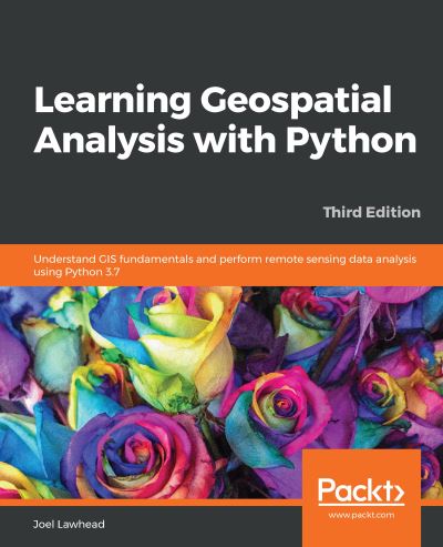
Learning Geospatial Analysis with Python: Understand GIS fundamentals and perform remote sensing data analysis using Python 3.7, 3rd Edition Joel Lawhead 3 Revised edition
Preço
R$ 350,90
excluindo impostos
Item sob encomenda (no estoque do fornecedor)
Espera-se estar pronto para envio 3 - 13 de nov
 Presentes de Natal podem ser trocados até 31 de janeiro

Receba avisos sobre novos lançamentos de Joel Lawhead
O que dizem nossos clientes:


Adicione à sua lista de desejos do iMusic
Learning Geospatial Analysis with Python: Understand GIS fundamentals and perform remote sensing data analysis using Python 3.7, 3rd Edition
Joel Lawhead
Geospatial Analysis is used in almost every field you can think of from medicine to defense, to farming. Learning Geospatial Analysis with Python, Third Edition would be a helpful guide to Geographic Information Systems and Remote Sensing Analysis using Python 3.7 without overwhelming the reader.
456 pages
| Mídia | Livros Paperback Book (Livro de capa flexível e brochura) |
| Lançado | 27 de setembro de 2019 |
| ISBN13 | 9781789959277 |
| Editoras | Packt Publishing Limited |
| Páginas | 456 |
| Dimensões | 233 × 189 × 29 mm · 775 g |
| Idioma | Inglês |


